
Polychop’s free update for the Gazelle is out. Bam! Just like that. No more, no less. We talked about it last week and in this week’s release cycle, we can all fly her. And, let me tell you, things are looking good. If you don’t have it yet, here’s where to grab it.
But this is not the only DCS news as there’s a new map for the sim. DCS: Sinai Map is out.
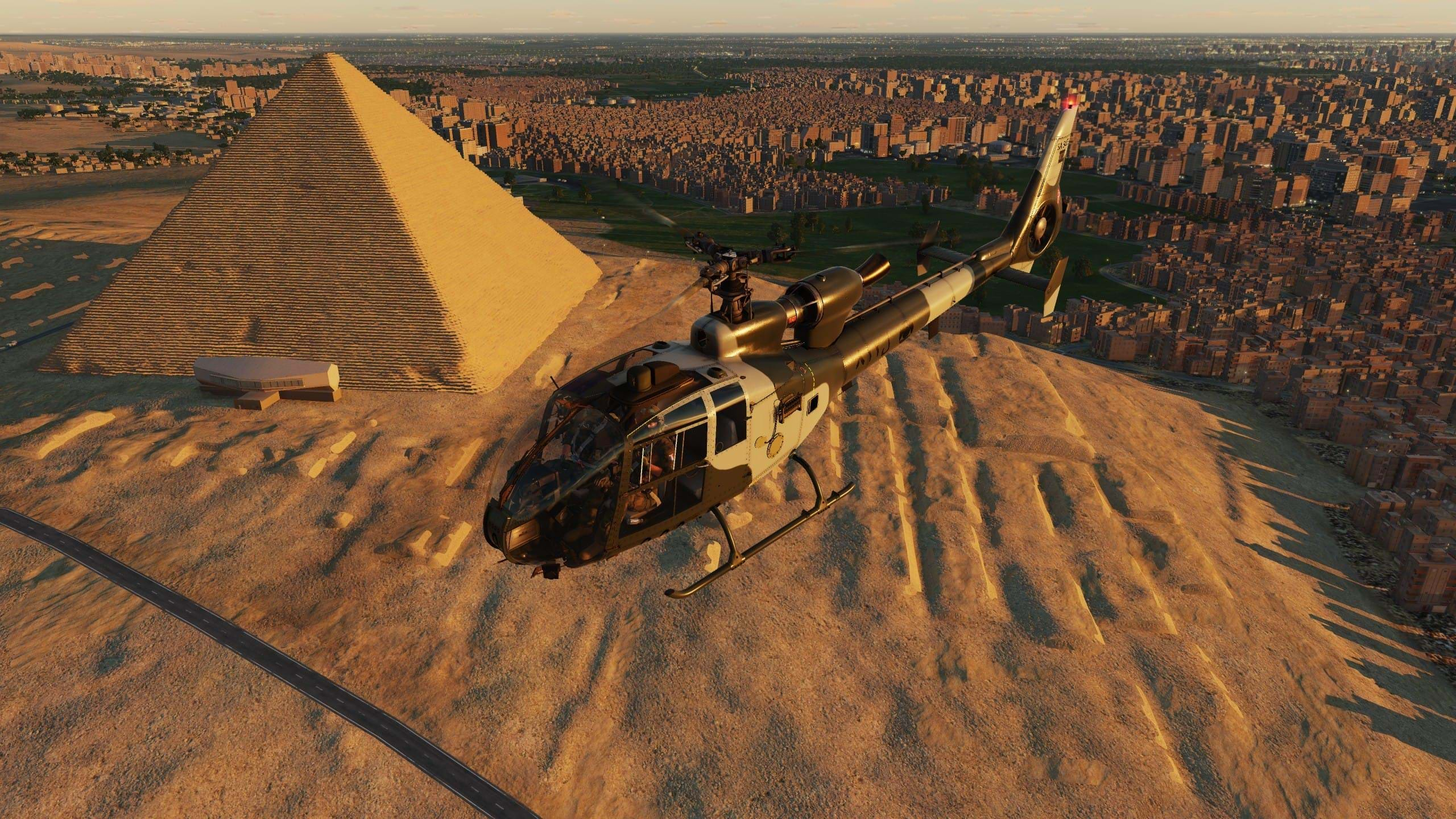
The new map focuses on the Sinai Peninsula, located between the Gulf of Suez and the Gulf of Aqaba and it “includes a variety of landscapes from deserts and mountains in the south to oasis and coastlines in the north”.
A huge interesting point of interest is the Suez Canal, which made headlines more than once.
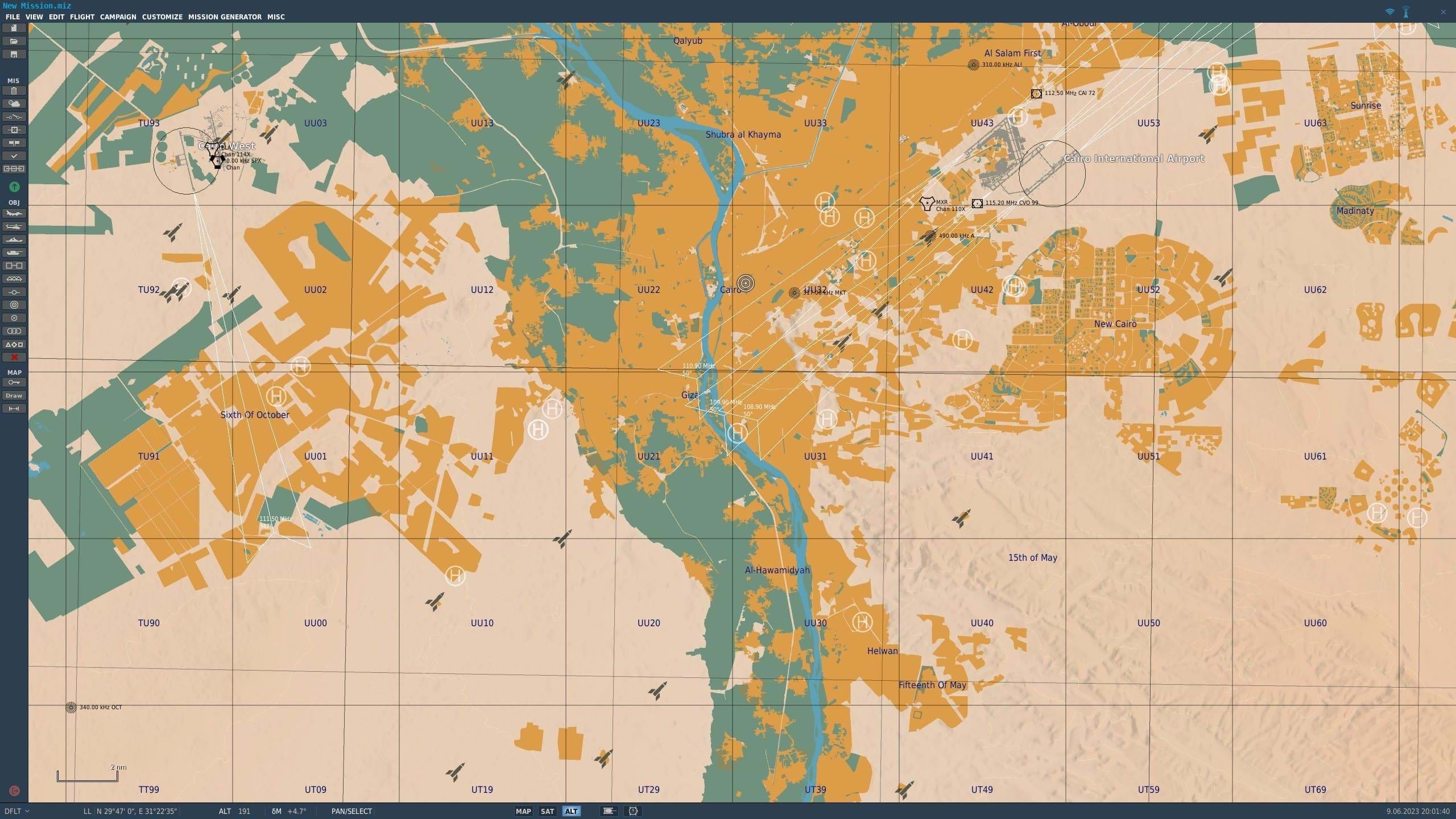
You will find the entire Sinai Peninsula, eastern Egypt, the Nile Delta, southern Israel, western Jordan and Saudi Arabia, Palestine - the Gaza Strip, and the West Bank for a total of 1500 x 1000 km, with a detailed section of 700x700 km. Quite nice!
The stage is set with many military bases and strategic seaports, emplacements for air defense systems, and yes, helipads.
For the history buffs, you will have a large number of military facilities and bases available to “help to reenact the Arab-Israeli wars, as well as modern missions and campaigns based on fictional, “what-if” scenarios”.
You can get this map, at a discount right now, at the official website.
Key Features
- 20 Egyptian airfields that include Cairo International Airport and 9 Israeli airfields that includes Ben Gurion International Airport. Airfields are accurately modeled and include lighting, approach lights, PAPI, TACAN, and VOR systems.
- City lighting using modern technology of the EDGE game engine.
- Major cities like Cairo, Ismail, Alexandria, Suez, Port Said, and Tel Aviv.
- About 100 unique objects like airfield facilities and monuments including the famous Giza pyramids. All objects and assets are divided into territories for greater recognition.
- The coastline of the Suez Canal, the Gulf of Suez, and the Gulf of Aqaba are included in great detail.
- Implementation of new procedural generation technology of land textures and normal map textures for mountains. This provides a new level of detail to DCS maps.
- Use of new technologies to create improved height maps that result in an accurate surface mesh.
- Unique tree models.