Description
Directly from the official website:
If you own V2.0 of this state, you can upgrade to this 4X version for 50% discount. Please contact support@megasceneryearth.com for an upgrade code.Fly the entire state - BORDER to BORDER - of New Jersey in photoreal detail.
New Jersey is 8,722 square miles in size and has 134 airports. You'll see everything that you see in New Jersey in real life in the scenery.
New 4X technology displays at 50 cm per pixel - 4 times the resolution of the previous version 2.0.
As an added bonus, we now provide all the VFR and IFR charts in digital PDF format to enable you to get the most out of your scenery. This includes TACs and Sectionals, IFR enroute charts and 274 page book of Instrument Approach plates, Airport Diagrams, SIDs and STARs. The charts are downloadable along with your scenery files.
This is a download edition with the option to order a DVD disk set (2 disc).
When you order the DVD disk set you will still receive download links. If you do not wish to download, simply wait for your DVD to arrive in the mail.
THIS TITLE COMES WITH A FULL SET OF FAA AERONAUTICAL CHARTS FOR NEW JERSEY IN PDF FORMAT.
Here's what you get (download links for charts will be given to you with your product download):
SECTIONAL CHARTS: New York and Washington
TERMINAL AREA CHARTS: New York
LOW ALTITUDE IFR CHARTS: ELUS-33/ELUS-34
HIGH ALTITUDE IFR CHARTS: EHUS-9/EHUS-10
APPROACH CHARTS & AIRPORT DIAGRAMS: A 274 PAGE PDF BOOKLET
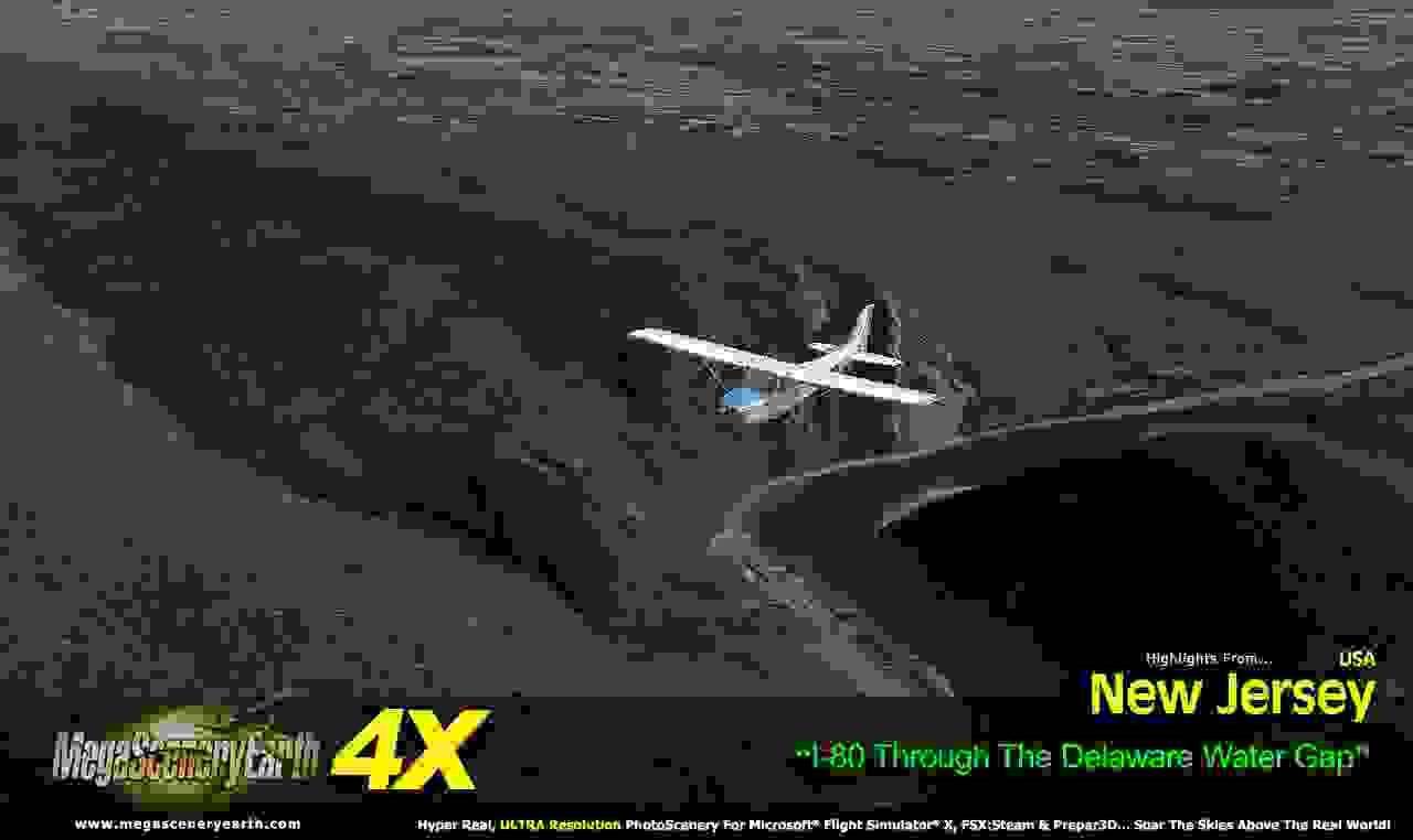
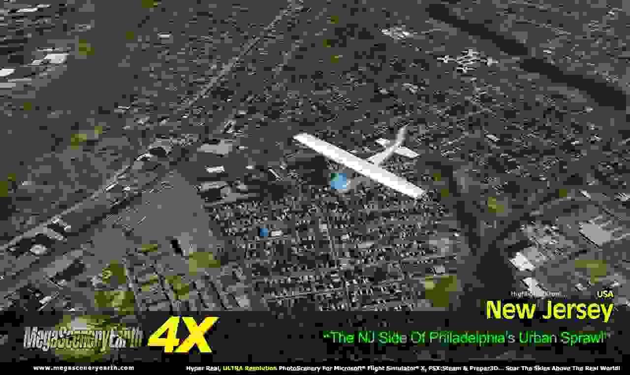
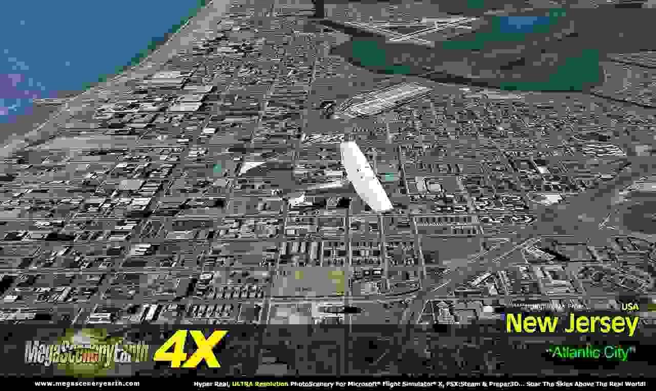
Media

Where to buy MegaSceneryEarth 4X New Jersey
You can buy MegaSceneryEarth 4X New Jersey here: http://www.megasceneryearth.com/store/cart.php?target=product&product_id=981