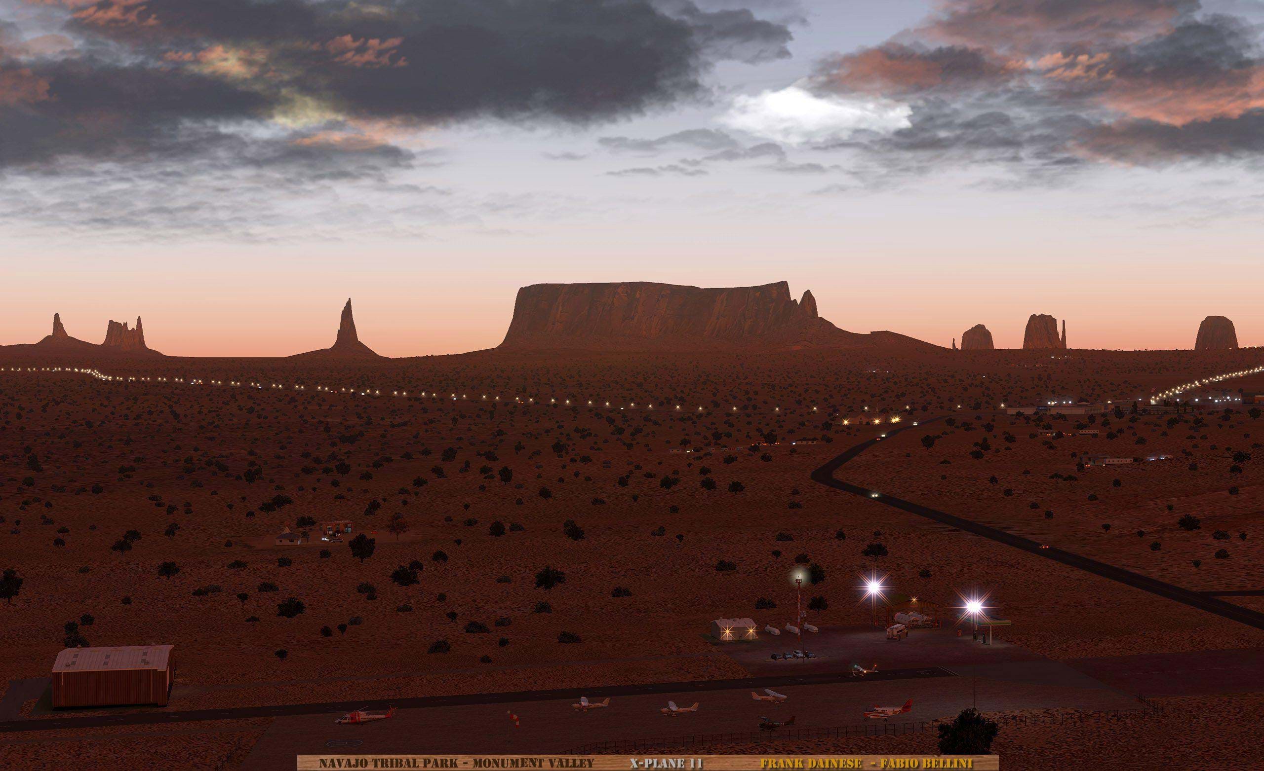
After the release of the gorgeous mountainous regions of the Dolomites and Matterhorn, Mr. Dainese and Fabio Bellini are now working on the vast plains of Utah.
The scenery will cover an area of 350 quare kilometers (~135 square miles) between grades + 36-111 and + 37-111.
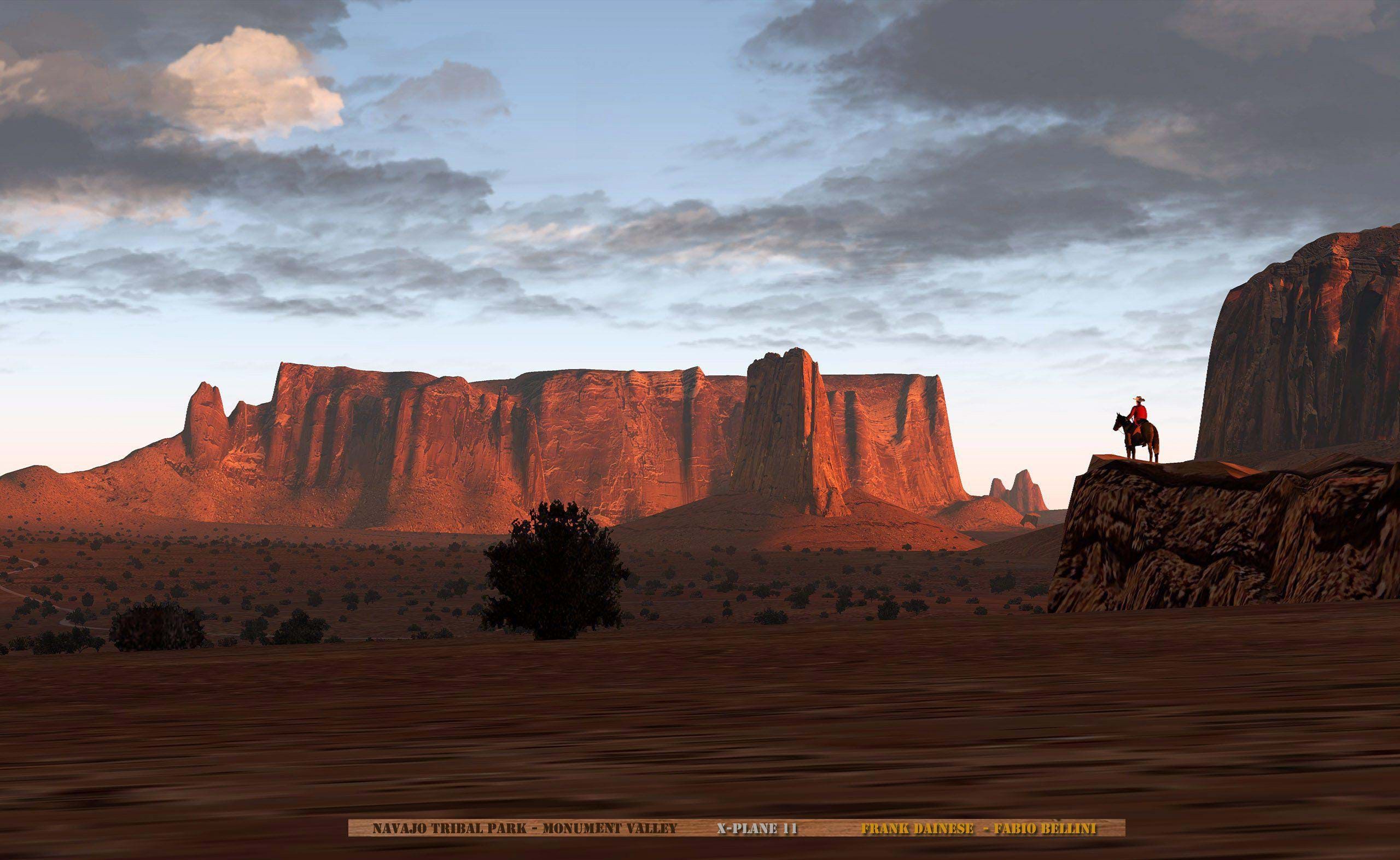
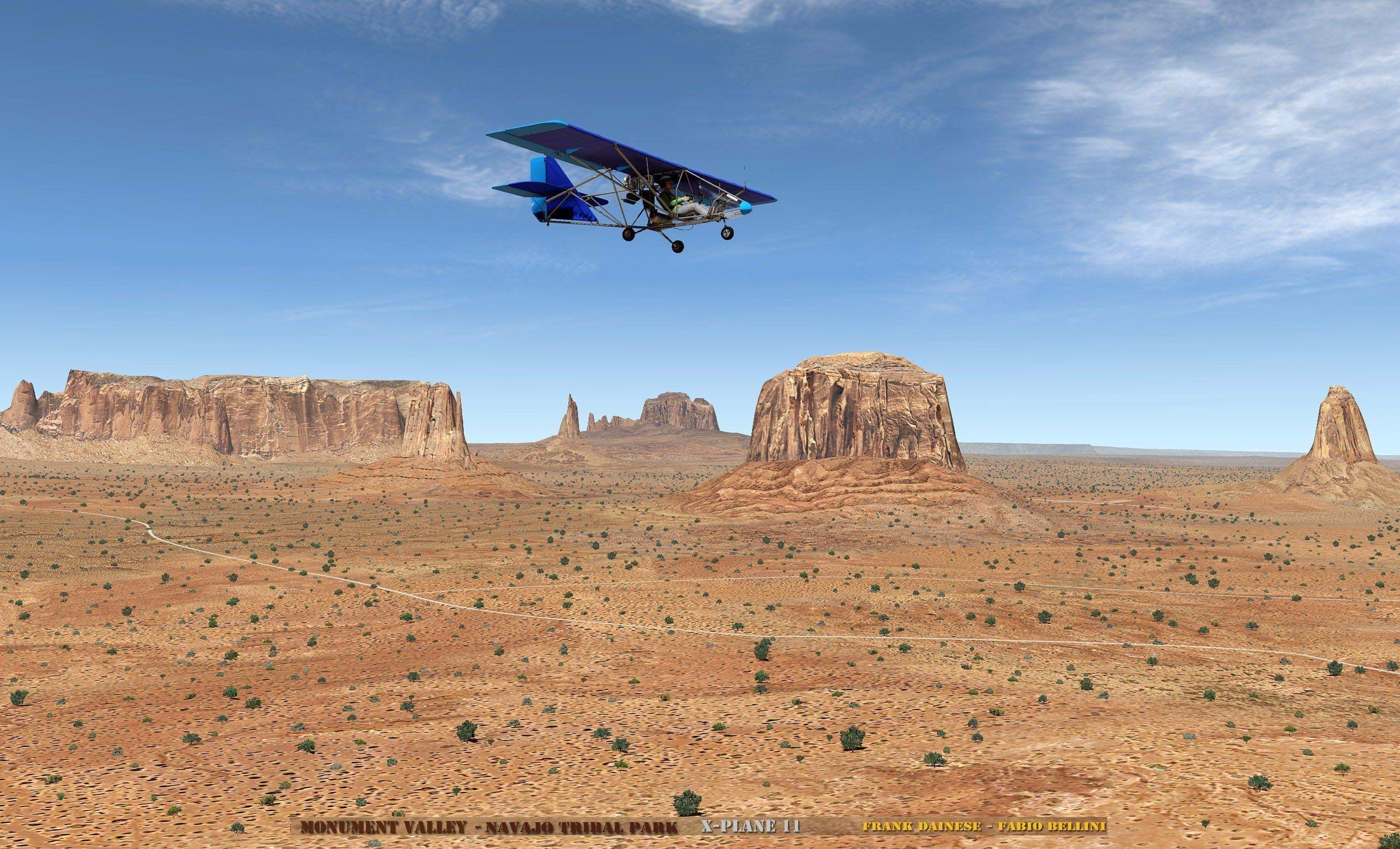
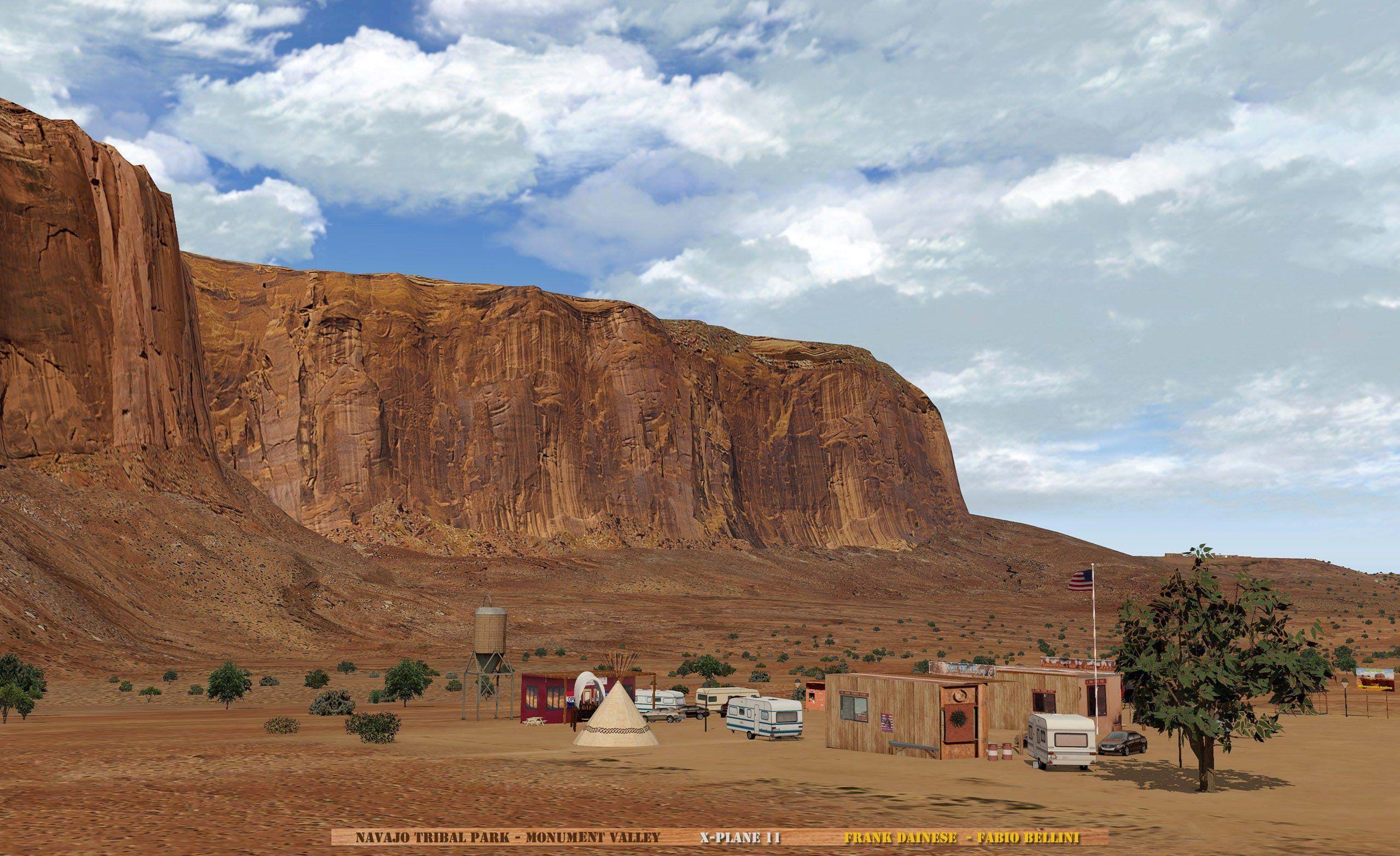
It will be a Summer scenery but without the use of orthophotos. Just like in his other scenery, Frank is positioning polygons and textures that reconstruct the typical terrain of the area (desert).
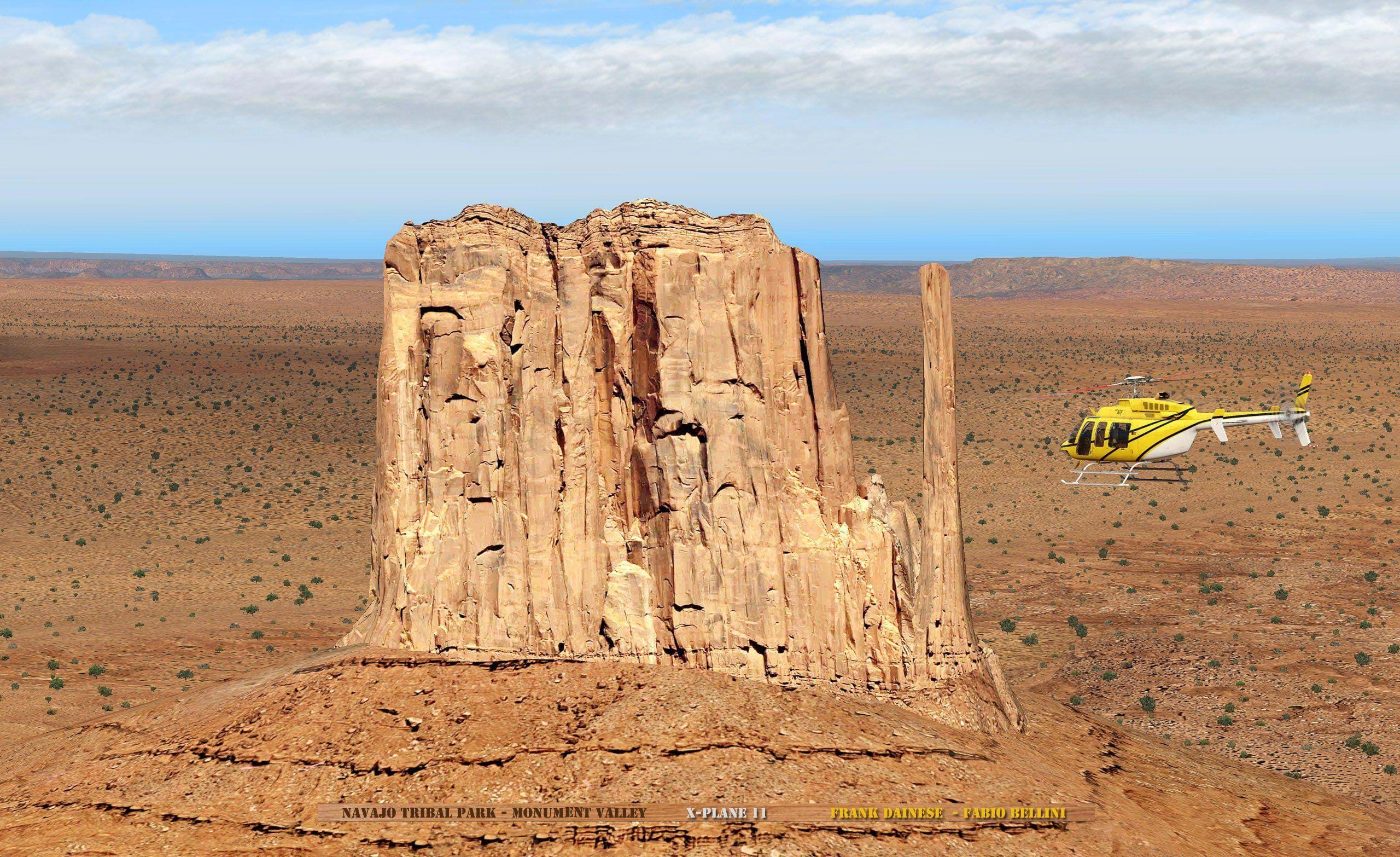
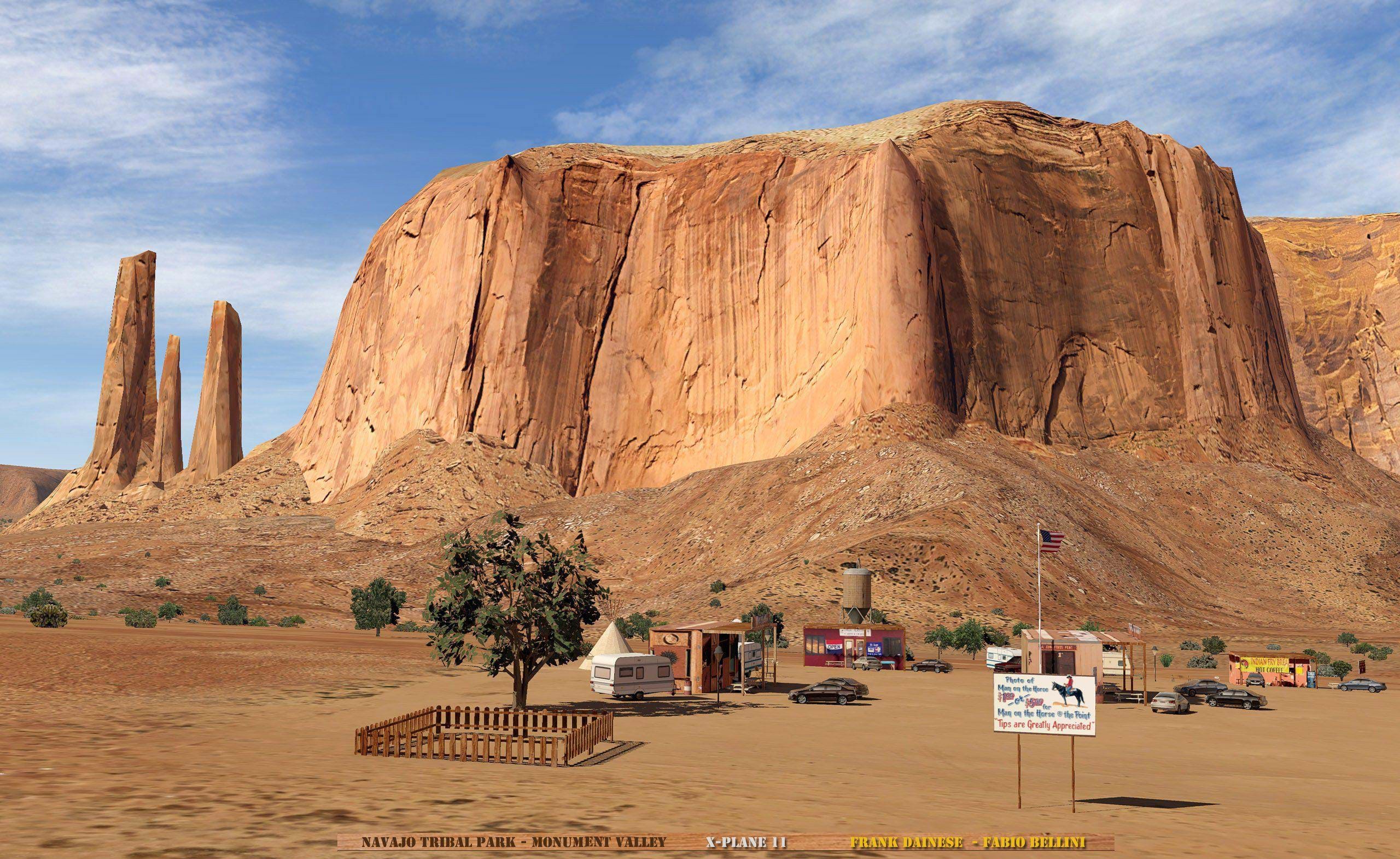
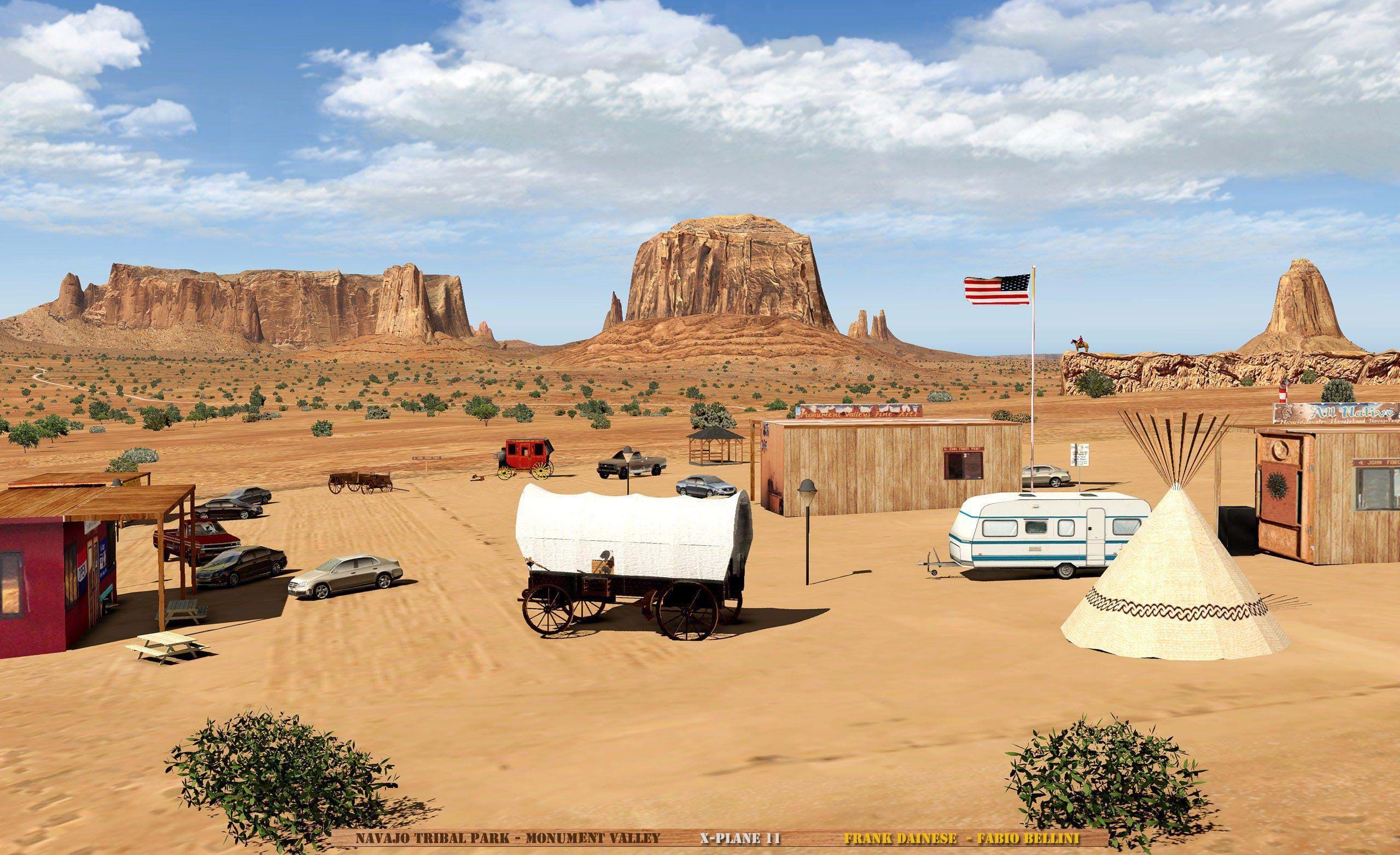
For increased quality of the region, twenty-one 3D models of the main peaks of the area are being built, reconstructed on DEM basis and subsequently elaborated with 4k textures. The meshes are also being completely rebuilt and adapted to the positioning of 3D models.
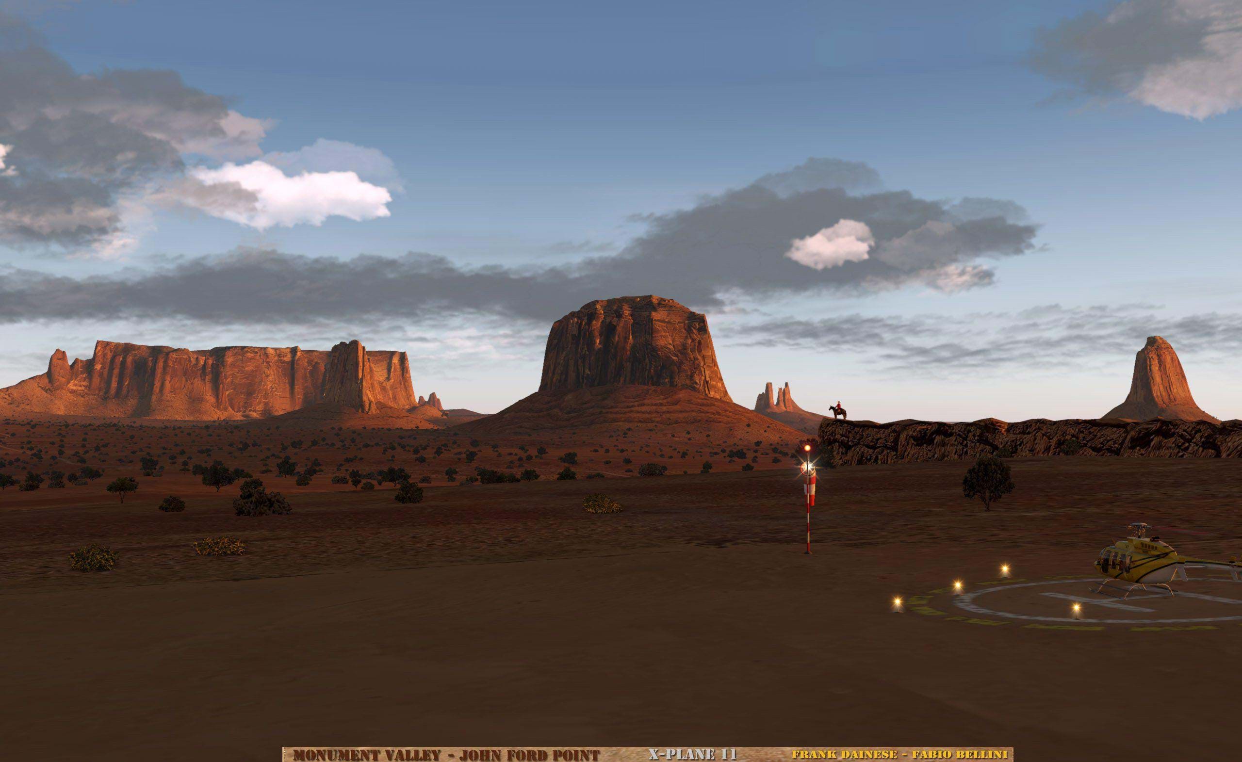
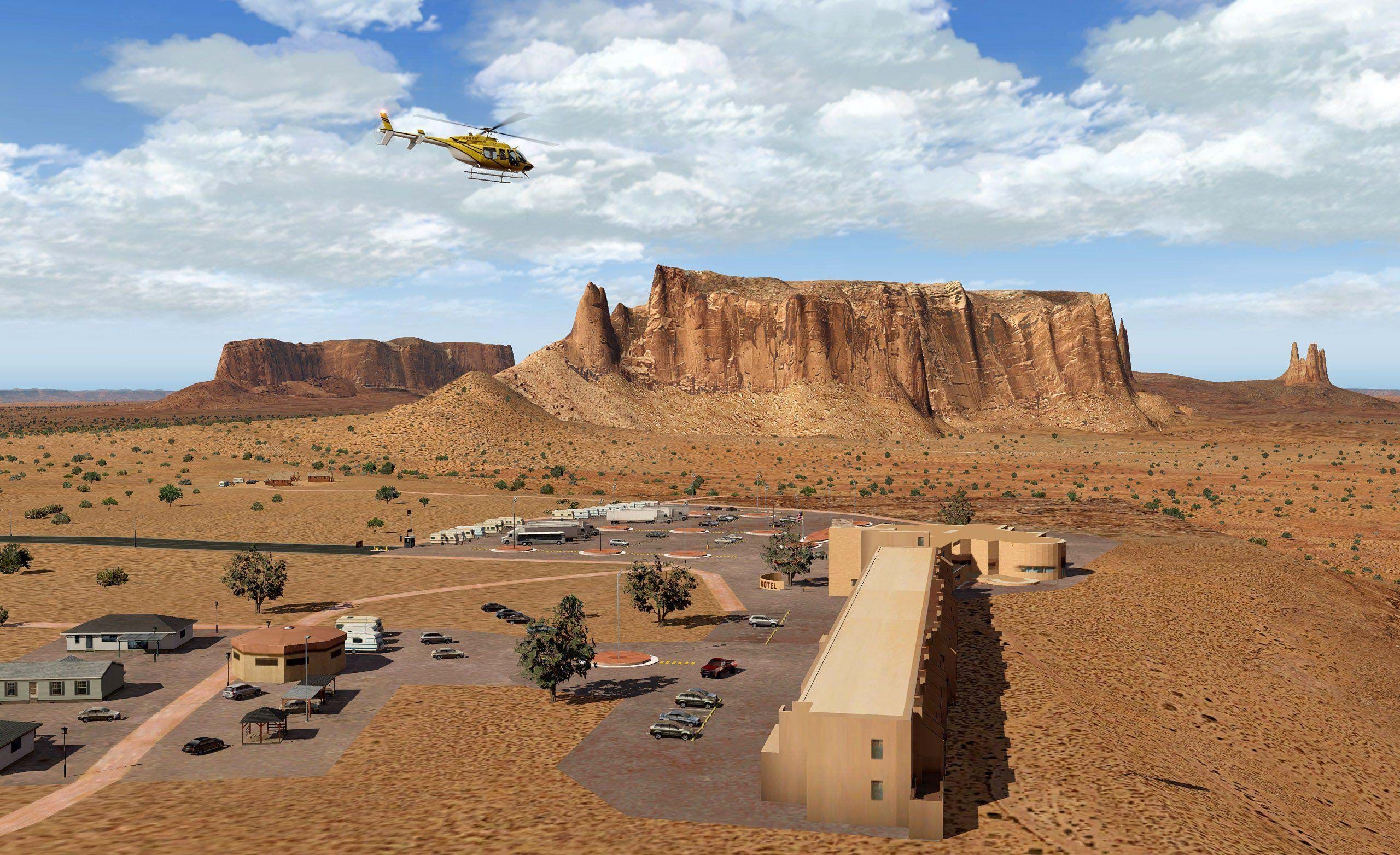
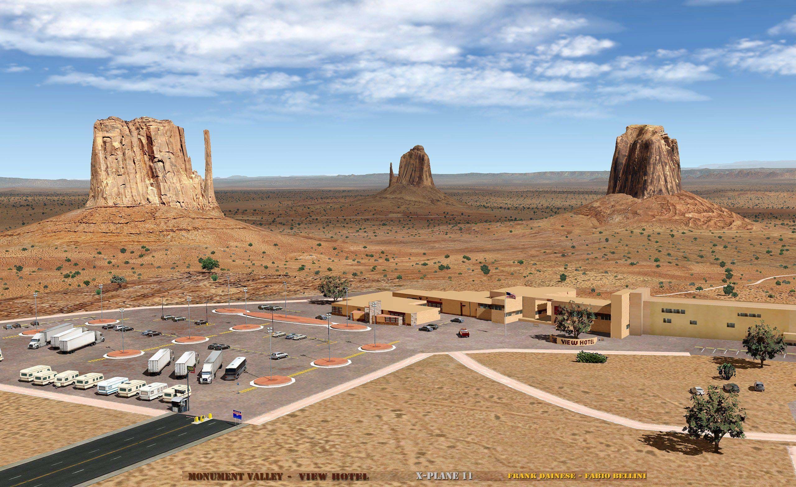
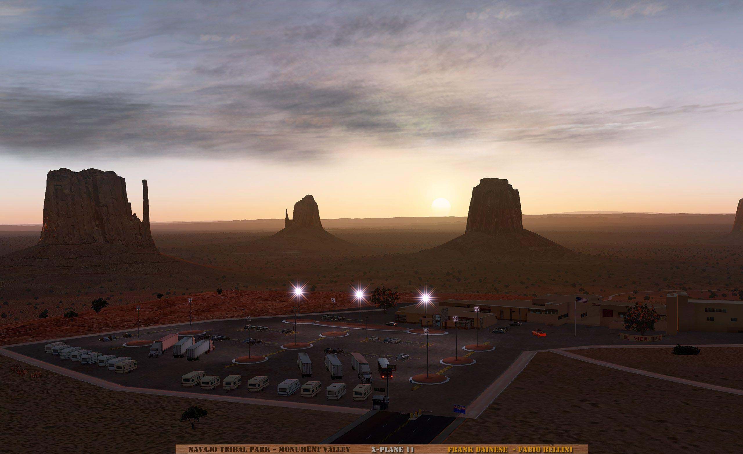
Of course, all the main buildings are reproduced. The four most characteristic areas (Airport, Oljato, View Hotel, John Ford Point) are also being reproduced with high detail.
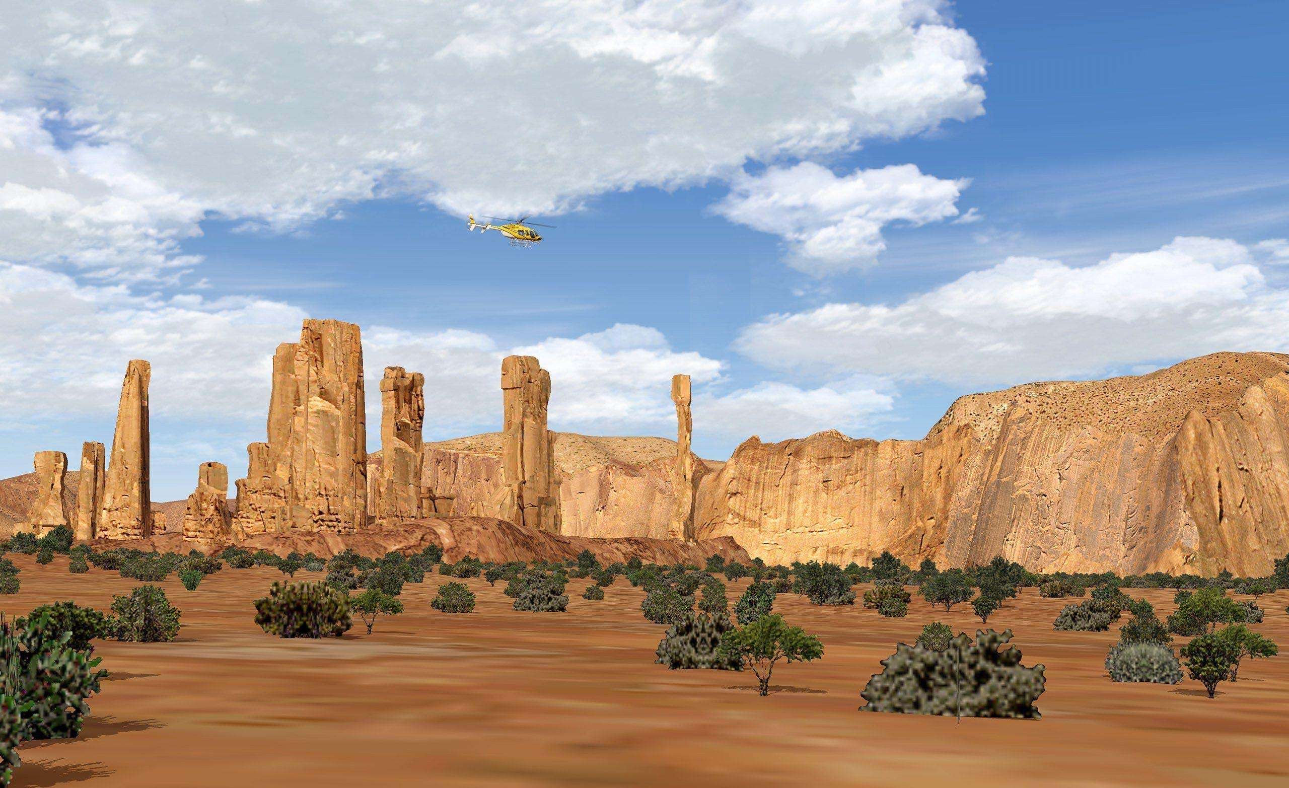
The scenery should be suitable exclusively for VFR flight (we, helicopter pilots, will be right at home). The scenery will also feature 1 Monument Valley Airport (UT25) and 2 other heliports (View Hotel, John Ford Point) to facilitate helicopter flight (Frank loves us, folks).
There's no exact release date but it's scheduled to be released during the Summer.