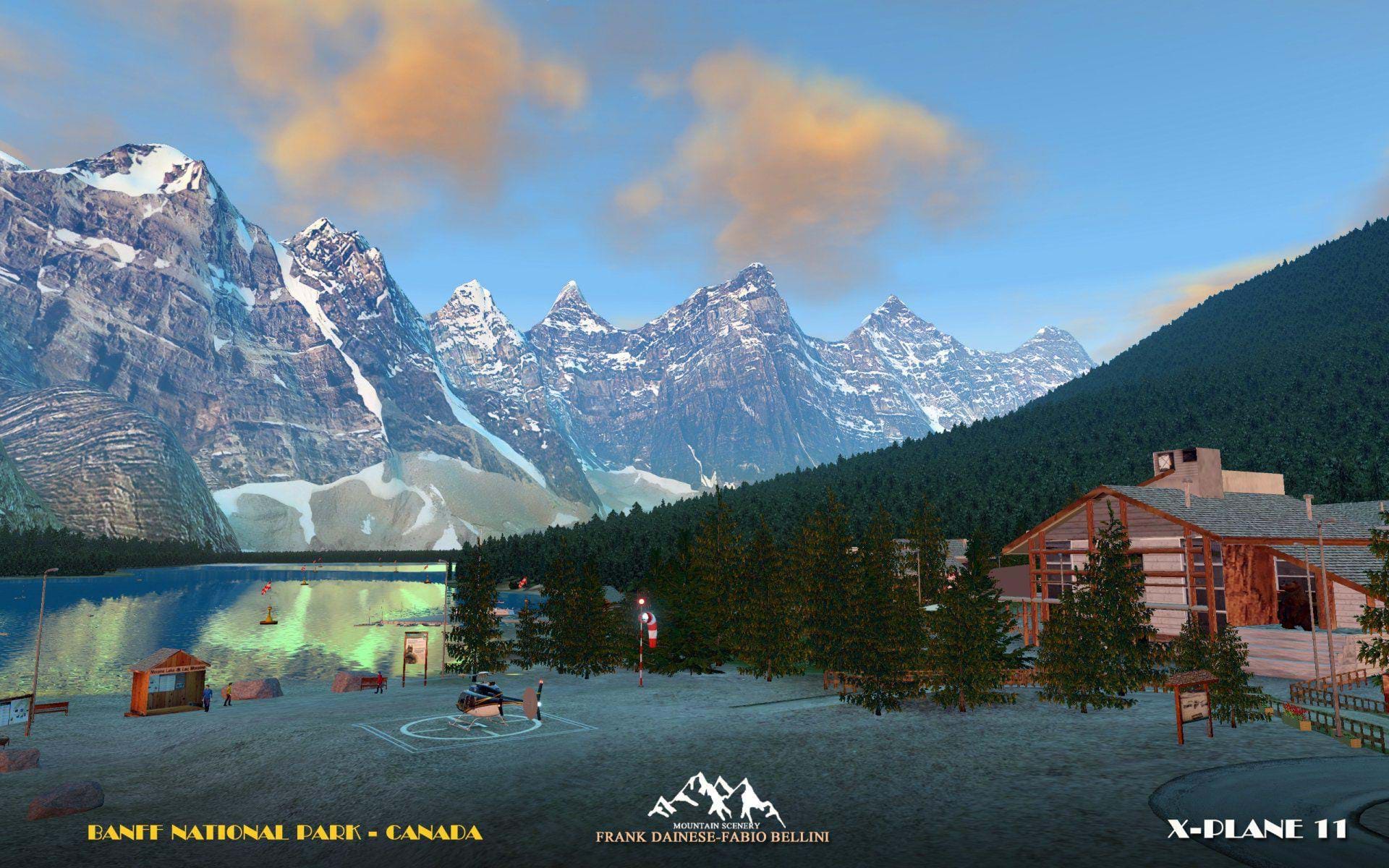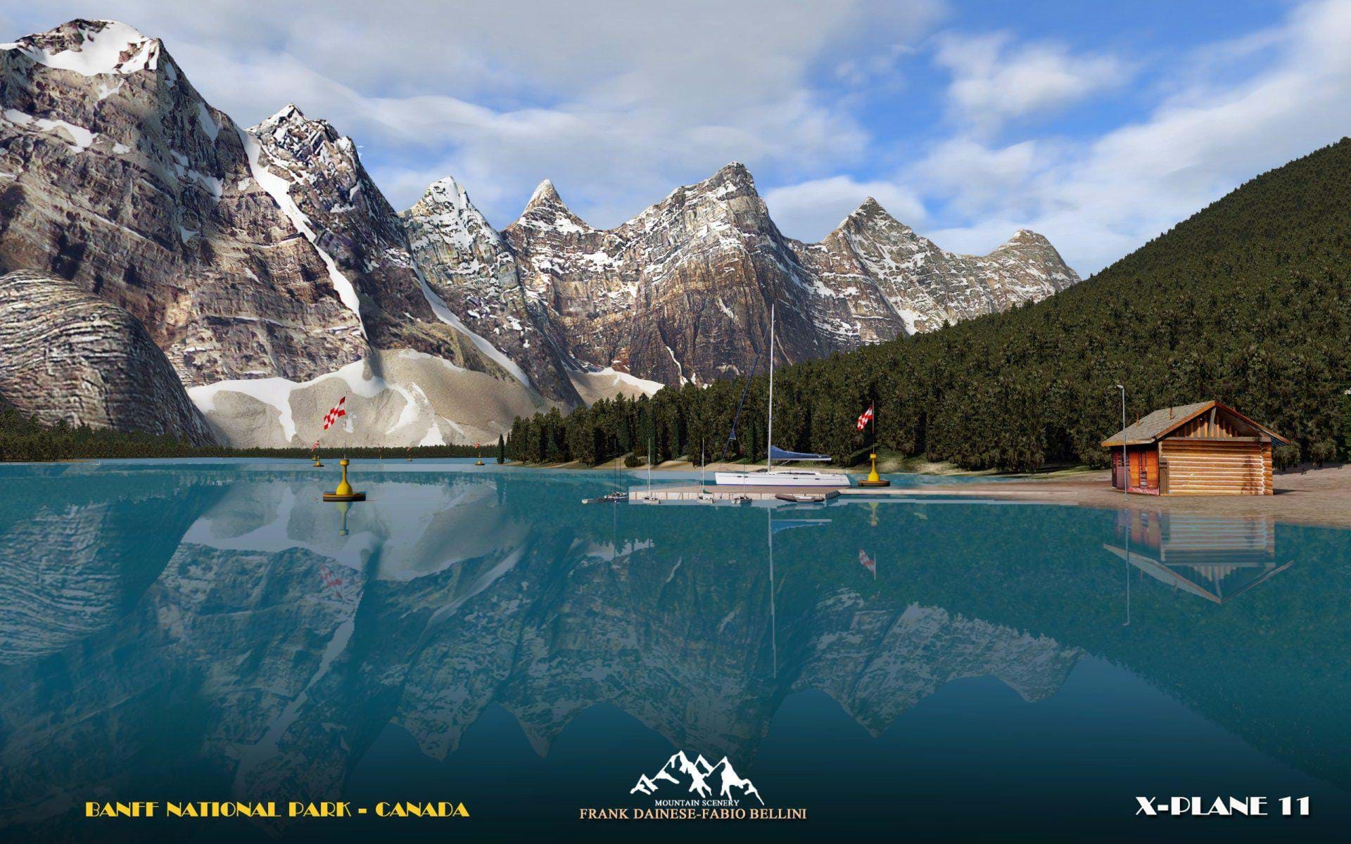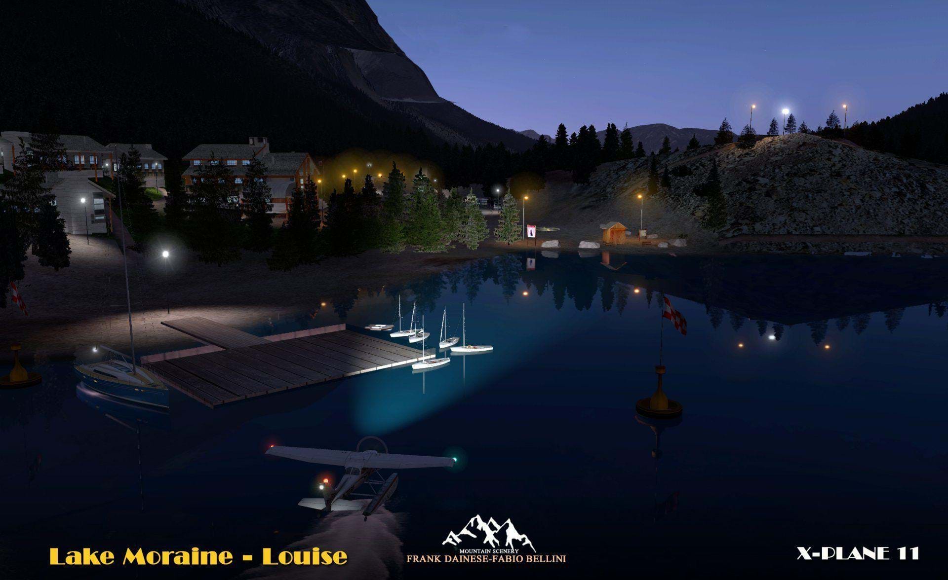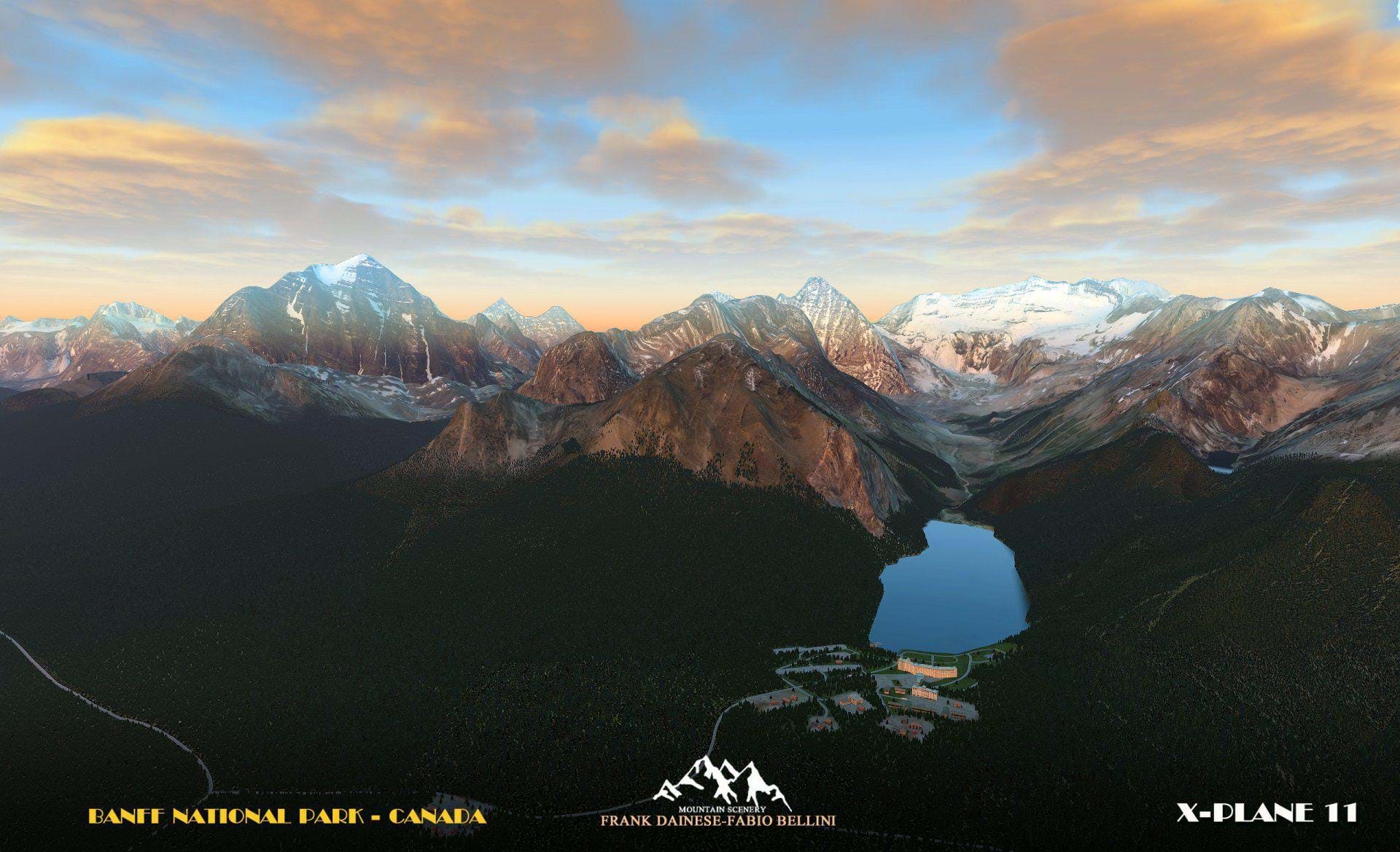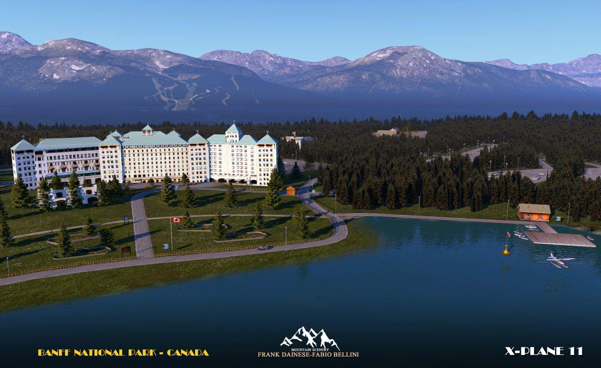
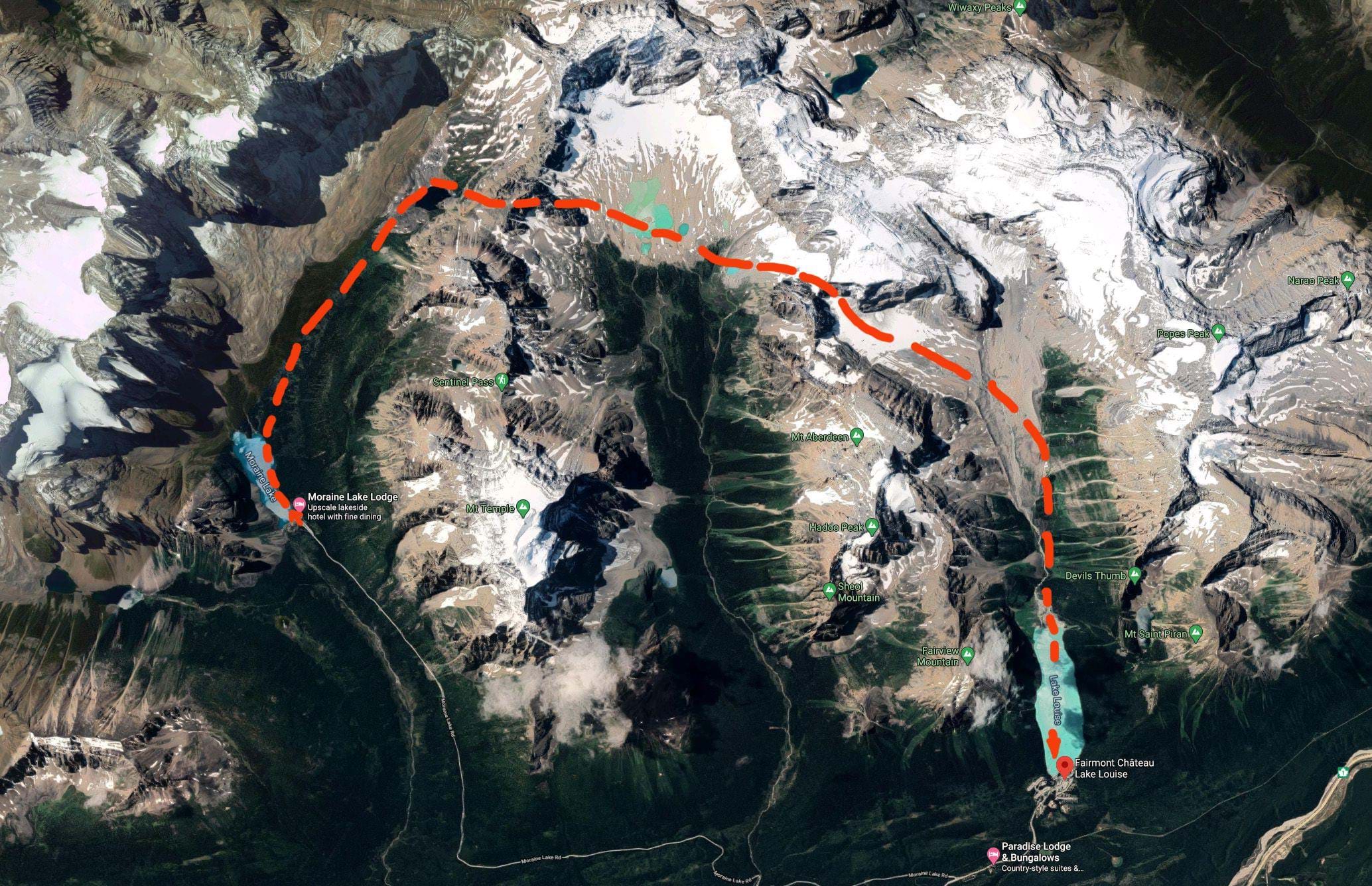
The Valley of Ten Peaks with Lake Moraine is one of the most photographed and Frank and Fabio decided to bring this beautiful area to the sim.
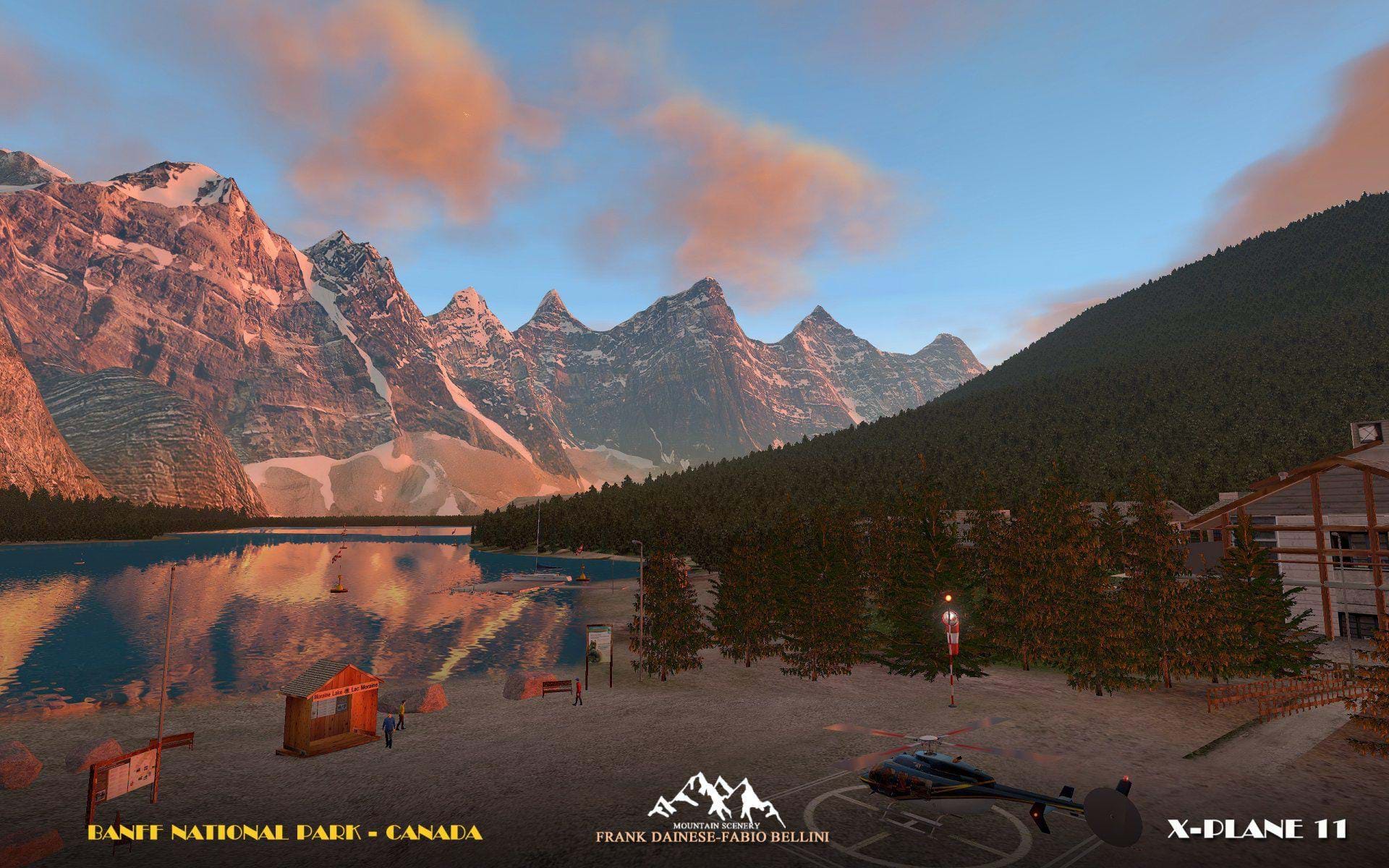
This area promises to become very popular among the helicopter community as it offers quite some scenic flights and quite a few challenges.
Official features
- Covers over 800 sq km.
- Included in the degree + 51 ° -117 °
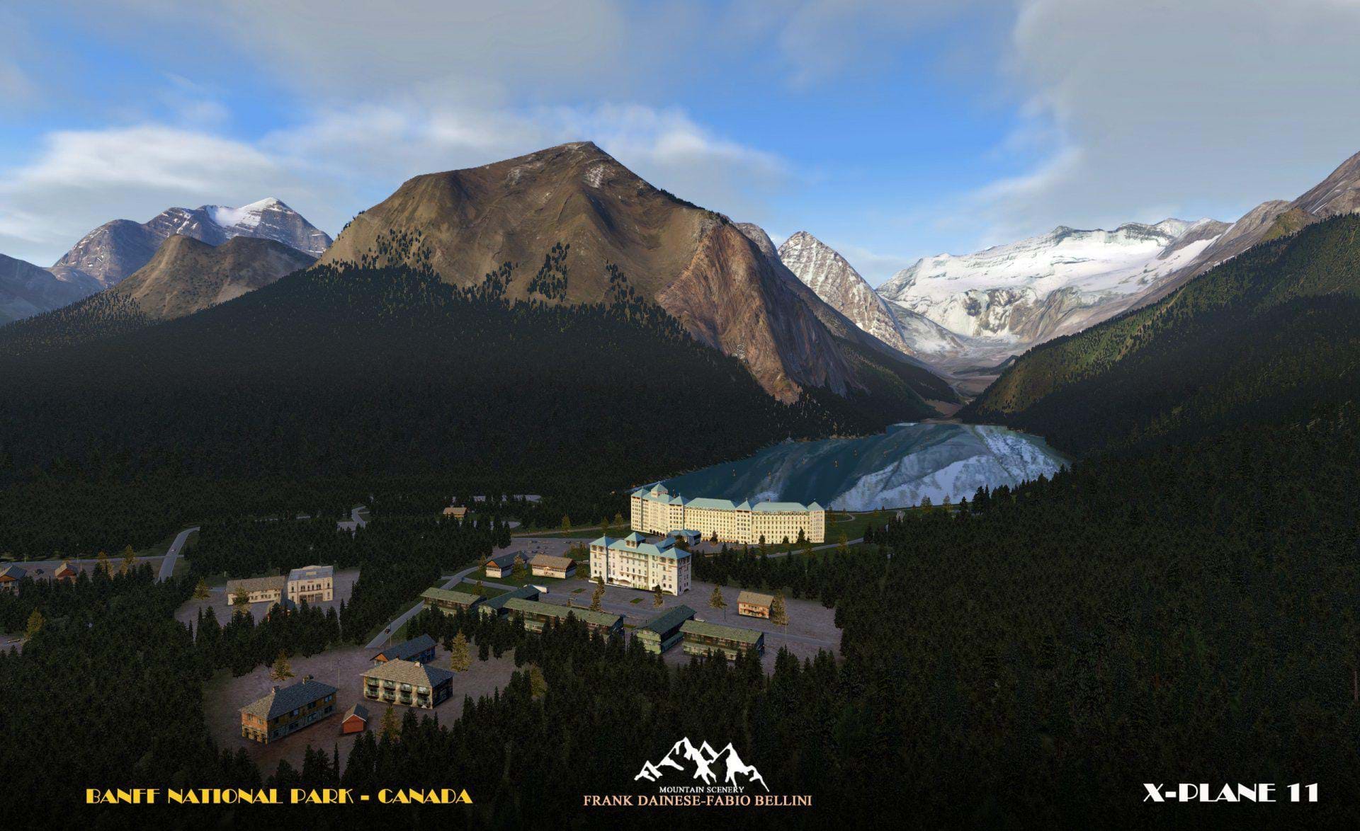
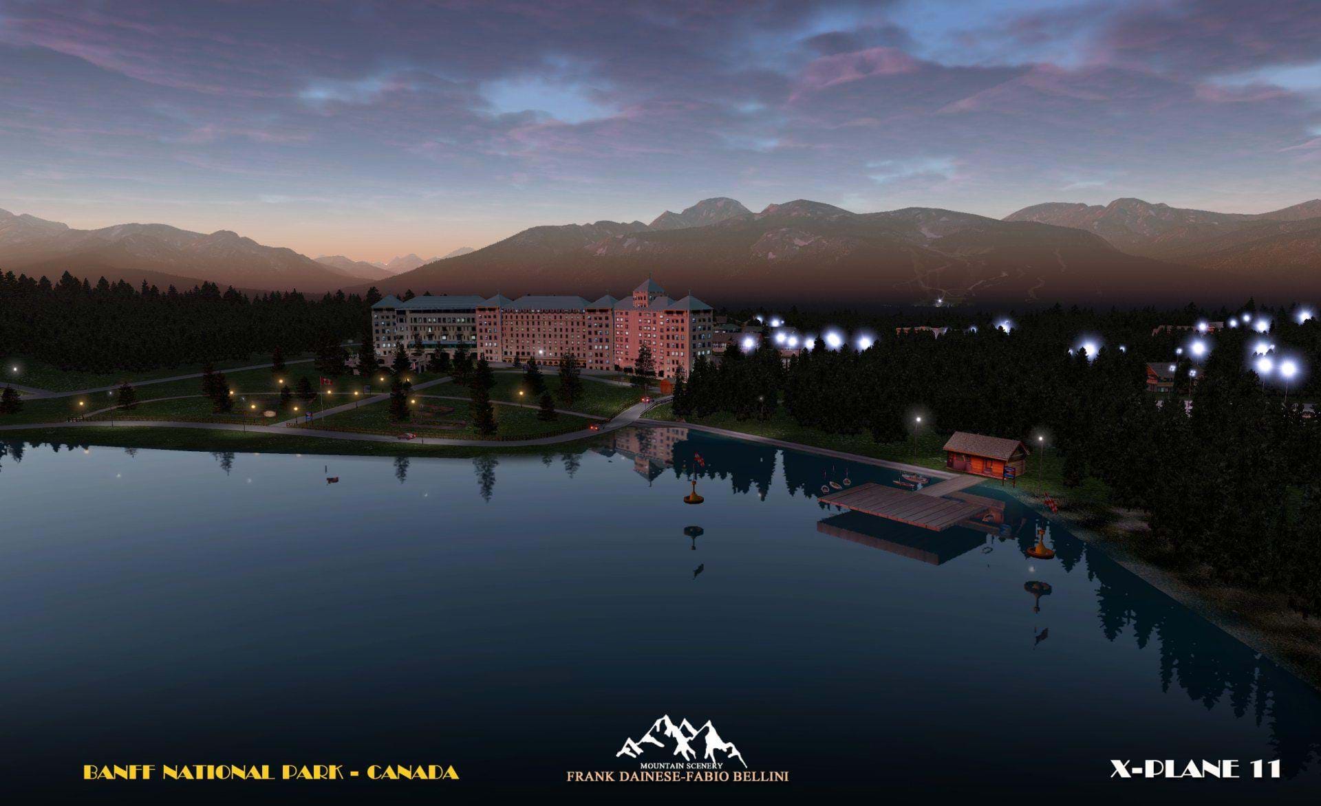
- From the valley of ten peaks, Lake Moraine to Lake Louise with the near village.
- The whole territory was reconstructed on a photographic basis.
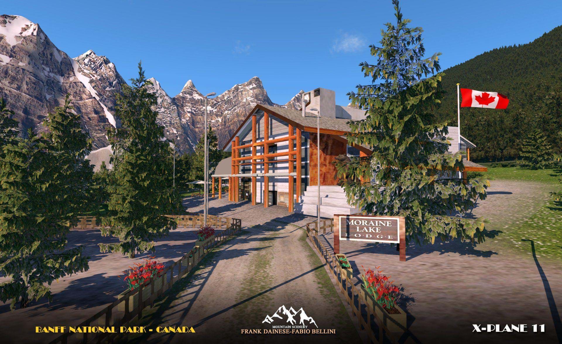
- The tourist areas of the lakes are reproduced with typical buildings, hotels, residences
- All the vegetation has been mapped and faithfully reproduced in 3D.
- 2 “water runways” have been prepared for the flight from lake to lake with seaplanes.
- 2 heliports at the respective tourist sites.
- Reconstructed with 3D models the mountain groups with 4K textures processed from photos.
- Ten peaks and the homonymous valley, Mont Temple, Mont Lefroy, Mont Hungabee, Moraine lake, Louise Lake.
- This scenery is only suitable for VFR flight, only with a "visual flight".
- ICAO codes
- LCLLW (Lake_Louise Canada)
- LCLM (Lake_Moraine Canada)
- HLML (Helipad Lake Moraine)
- XCYCHLL (Hlipad - village near Lake Louise)
s